Destinations
The communities east of Charlottetown
Each community in this guide has its own harbour, beach, or reason to stop. Pick a base, then branch out. Nothing here is more than an easy drive from the next town.
Eastern PEI, simplified. The left edge is toward Charlottetown. Not for navigation.
Browse by community
The map is a sketch of the east end. Open a town for the places, the practical notes, and Google Maps for finding, directions, and more info.
- Souris
Ferry port, beaches, and the road to East Point
- St. Peters Bay
The bay beside the Greenwich dunes
- Morell
A river village just inland from the bay
- Montague
River town and the practical base for the south
- Georgetown
A harbour town on a grid of streets
- Cardigan
A small harbour between the rivers and the north
- Murray River
A south-shore village on the river
- Murray Harbour
A fishing harbour near Cape Bear
- Wood Islands
Ferry landing and the southeast light
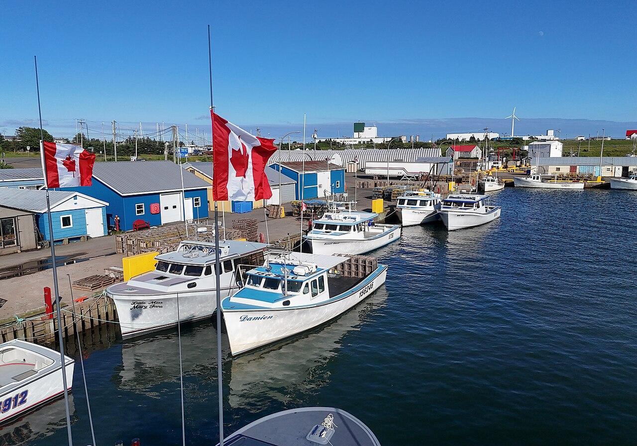
Ferry port, beaches, and the road to East Point
Souris
The service town for the far east. A working harbour, a seasonal ferry to the Magdalen Islands, and short drives to Basin Head and the island's eastern tip.
Explore the area
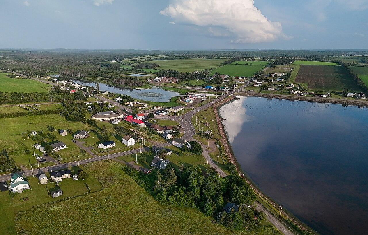
The bay beside the Greenwich dunes
St. Peters Bay
A north-shore bay at the door of PEI National Park's Greenwich section, with a quiet harbour and beaches that run east toward Cable Head.
Explore the area
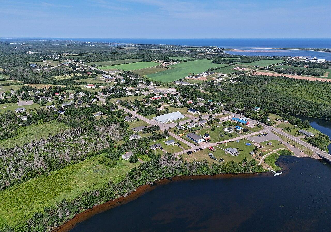
A river village just inland from the bay
Morell
A small village on the Morell River, between St. Peters Bay, Crowbush Cove, and the Confederation Trail.
Explore the area
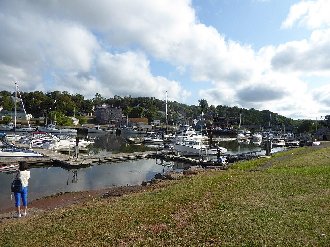
River town and the practical base for the south
Montague
The main town on the Montague River. Main Street, a waterfront, and short drives to Georgetown, Brudenell, and the south shore.
Explore the area
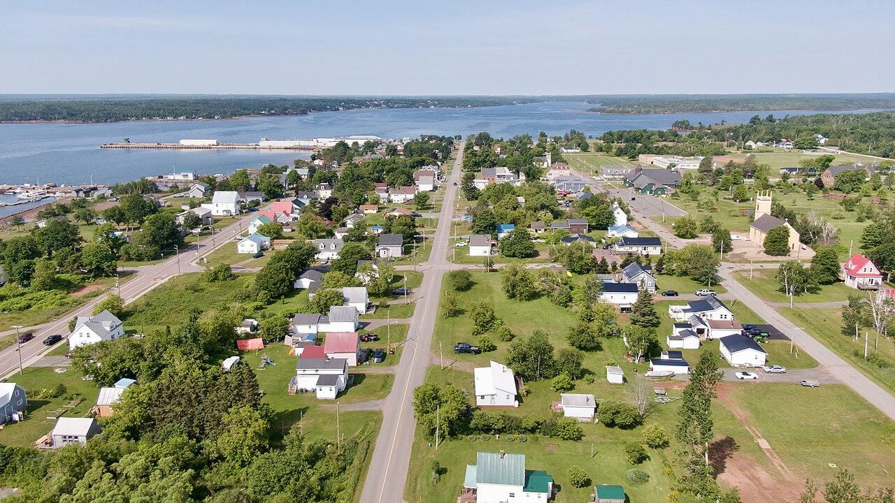
A harbour town on a grid of streets
Georgetown
A historic town on a peninsula where the rivers meet, with a deep harbour, a community theatre, and Panmure Island just down the road.
Explore the area
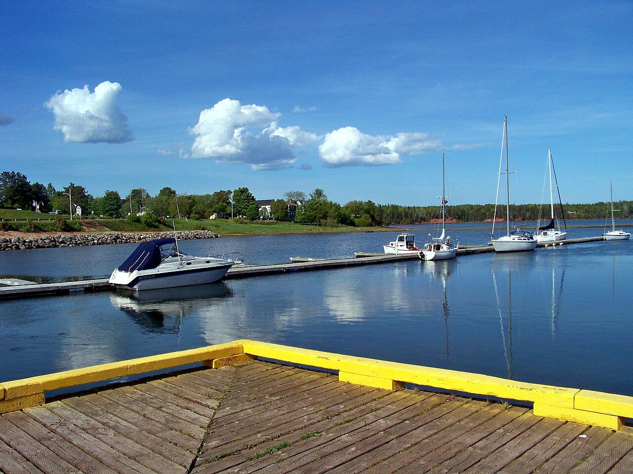
A small harbour between the rivers and the north
Cardigan
A harbour village on the Cardigan River, between Montague and the north-shore roads.
Explore the area
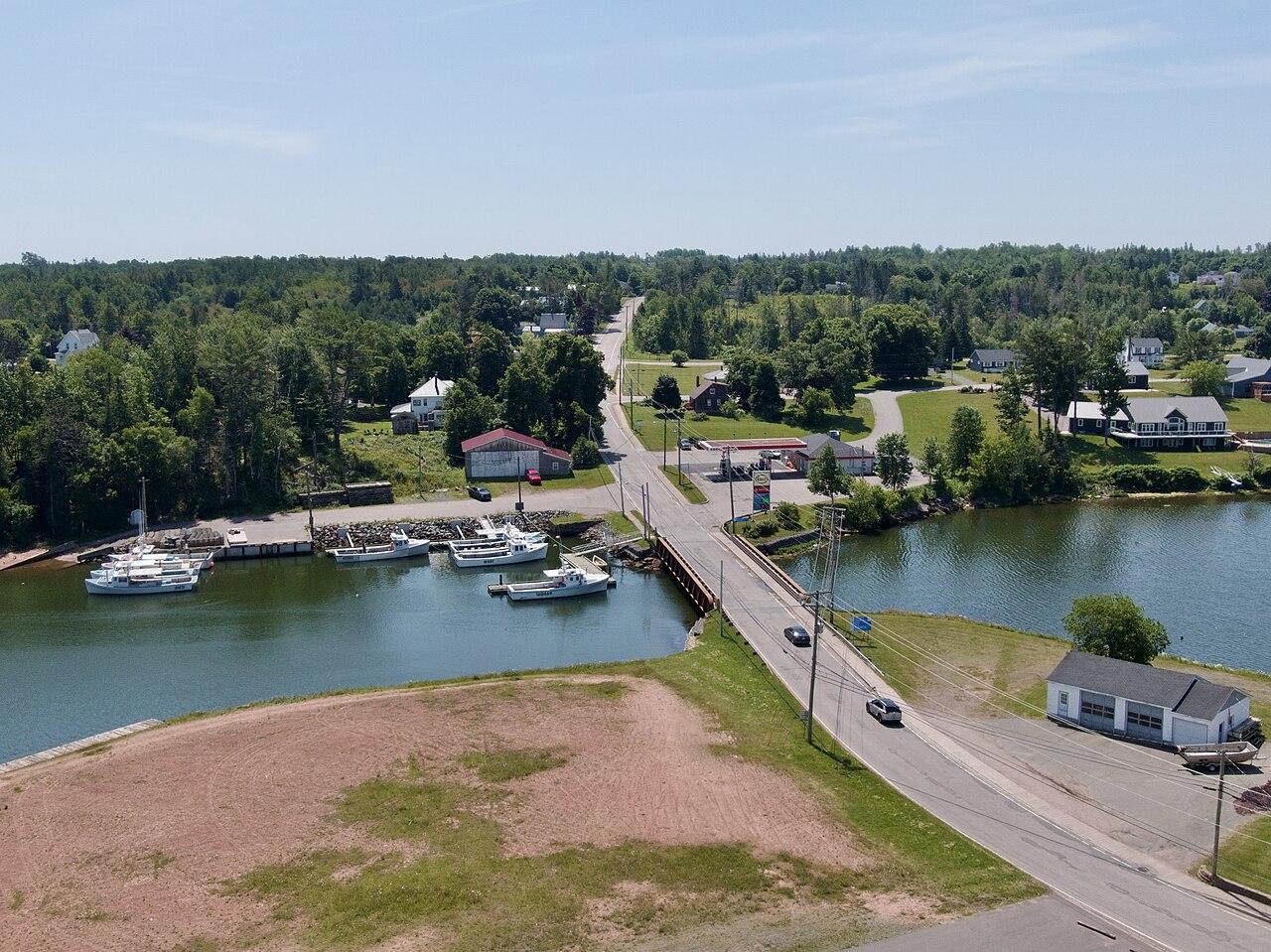
A south-shore village on the river
Murray River
A village on the Murray River, used as a base for the southeast harbours and for seal-watching boats in season.
Explore the area
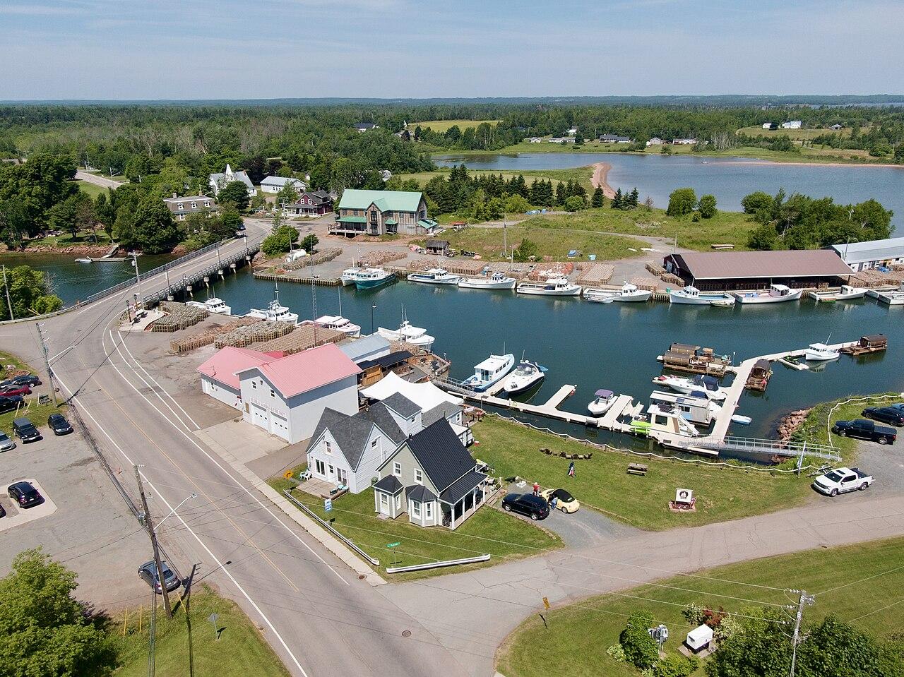
A fishing harbour near Cape Bear
Murray Harbour
A working fishing harbour on the southeast shore, a few minutes from Murray River and the road to Cape Bear.
Explore the area
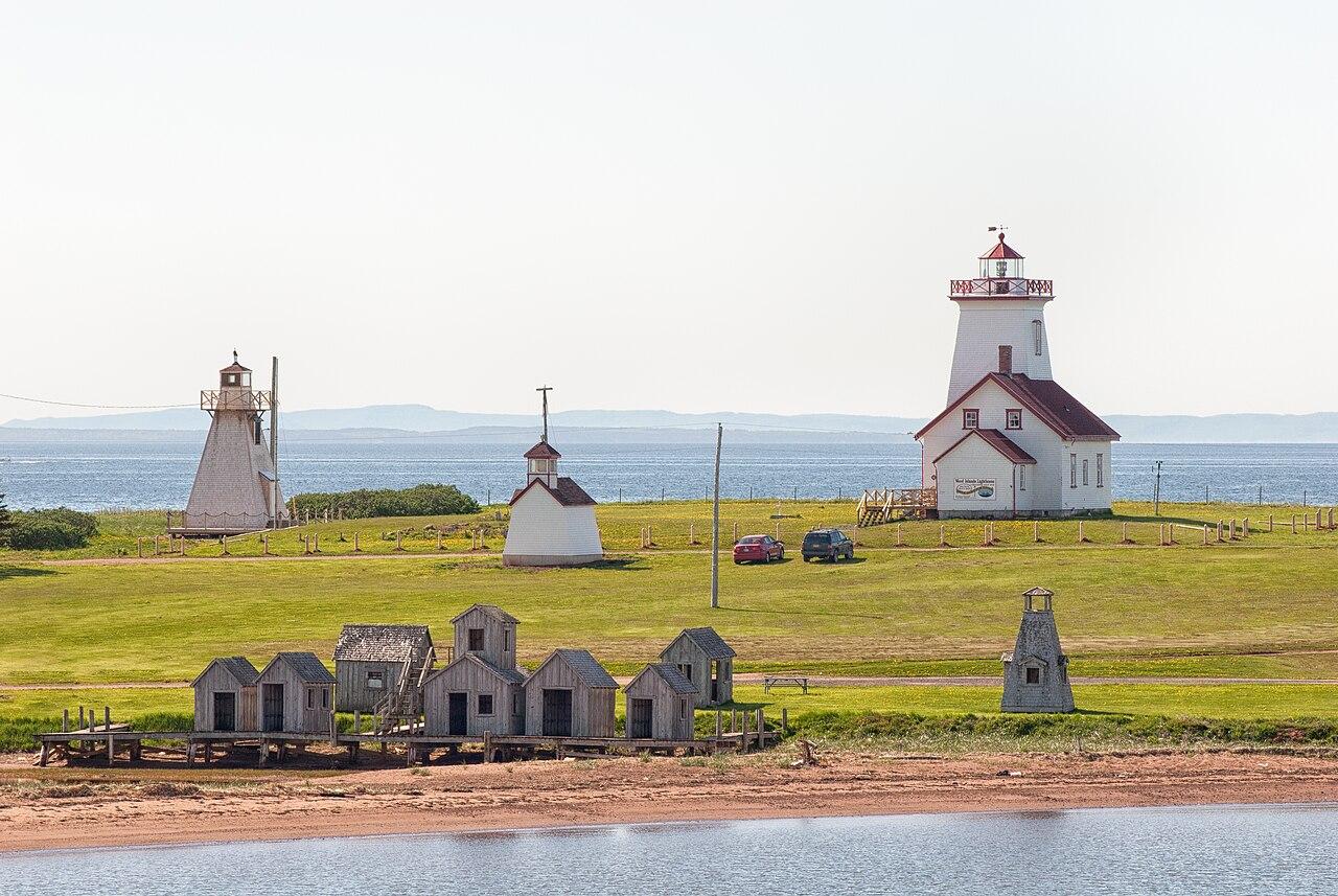
Ferry landing and the southeast light
Wood Islands
The seasonal ferry from Nova Scotia lands here, next to a lighthouse on the red shore. Point Prim is a westward continuation of the same coast.
Explore the area
Harbours
Working water, close to the street
The boats come into Souris, Georgetown, and the south-shore harbours. Oysters, chowder, and the catch show up where the wharves are, on the days the kitchens are open.
Culture
Stages, stations, and one French settlement
A community theatre in Georgetown, a railway museum at Elmira, a fiddle festival at Rollo Bay, and the Roma site where the rivers meet. All of them are seasonal.
Harbours
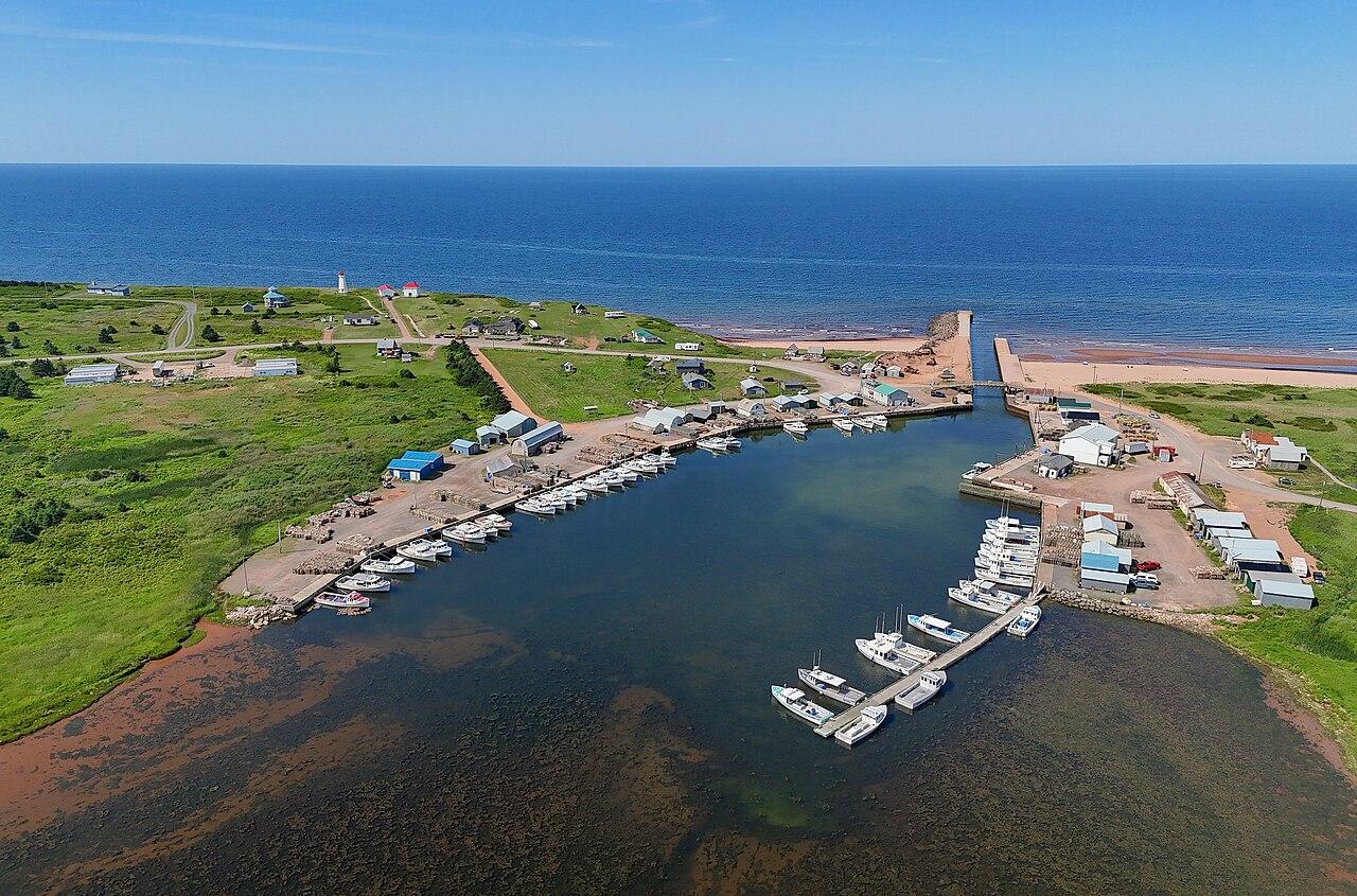
Souris Harbour
A working harbour and the dock for the Magdalen Islands ferry.
Souris
Harbours
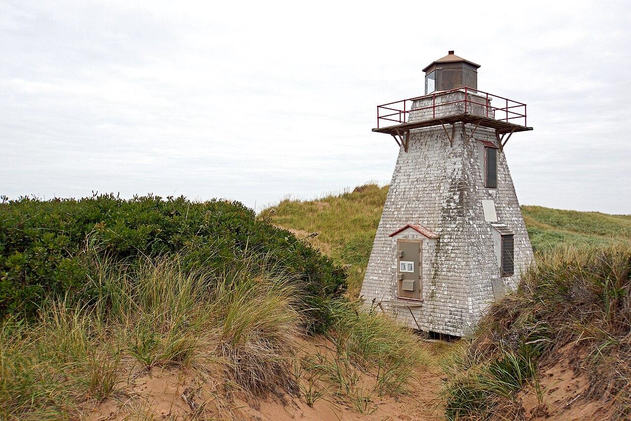
Naufrage Harbour
A small north-shore fishing harbour on the road toward East Point.
Souris
Harbours
St. Peters Harbour
A small harbour at the mouth of the bay, beside the national park.
St. Peters Bay
Arts and culture
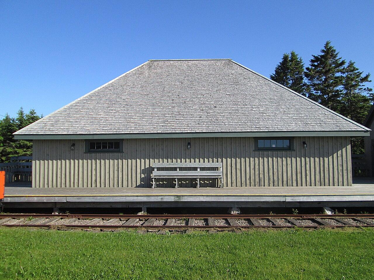
Elmira Railway Museum
The old eastern end of the Island railway, and the trailhead of the Confederation Trail.
Souris

Arts and culture
Rollo Bay
A rural community known for its fiddle festival.
Souris
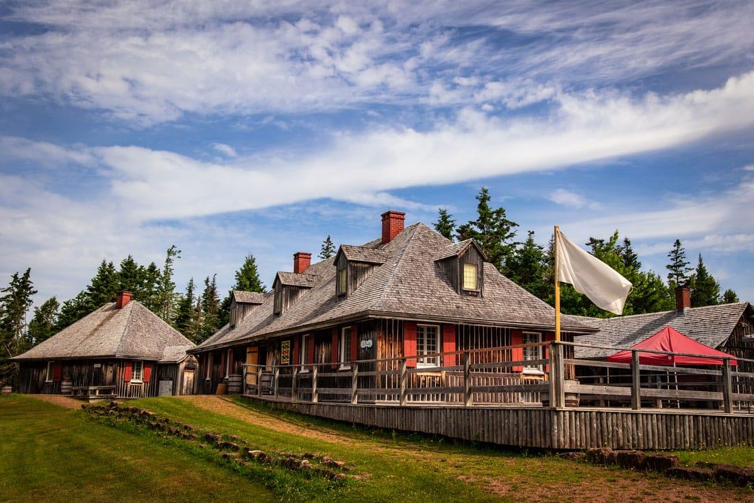
Arts and culture
Roma at Three Rivers
A historic site at Brudenell Point interpreting an 18th-century French settlement.
Georgetown
9
Communities in this guide
35
Places you can open and plan around
Under an hour
Between most of these towns
Straight answers
When should I visit?
July and August are warmest for swimming and busiest at Basin Head and Greenwich. June and September are quieter. September still has relatively warm water in the Strait. By October many seasonal kitchens and park services have closed, while the lighthouses and headlands remain.
Do I need a car?
Yes, for this part of the island. There is no useful public transit between the villages, beaches, and lighthouses. Distances are short — Montague to Souris is under an hour — but they are driving distances. The Confederation Trail is the exception if you want a day on a bicycle.
How long do I need?
Two days covers a river day and a north-shore day. Three days lets you add the southeast lights without rushing. A single day still works if you pick one cluster: Souris and the tip, or Montague and Georgetown, or the Wood Islands shore.
Are the beaches crowded?
Basin Head and the Greenwich beach draw summer crowds, especially on warm afternoons. Mornings, weekdays, and September are calmer. Smaller accesses such as Cable Head stay quieter. None of them are empty just because they are east of Cavendish.
Is it a good trip with children?
The shallow beaches, Panmure Island, Buffaloland, and the Elmira railway museum all work with children. Keep the driving in short pieces and plan a beach in the middle of the day rather than stacking four lighthouses.